
The map as an instrument for the work of geographers
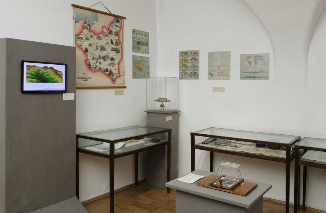
The methods of collecting and analyzing data are specific for every science discipline. Geography has a special way of processing information defined by a given area. the best instrument to analyze the data is the map, because a cartographic document is not only illustration, a picture showing a given issue in an impressive manner. Thematic maps are precise chart allowing to present information without the need of statistical calculation. The basis a topographic map, on which detailed information about a given area is marked.
Currently, the development of computer information systems allows to organize the Geographic Information Systems (GIS), with the idea of creating an extensive and diversified data base with strictly defined geographical coordinates. They are screened in the form of maps, as required by the user. in addition, they can be presented in the dynamic form e.g. picturing the gradual flooding of the country. Nowadays, GPS (Global Position System) is used to collect field data, recording coordinates of every measurement point, usually also with its height.
The presentation of how to transform aerial photos into a topographic map, various thematic maps and the GIS system is also displayed in this room.